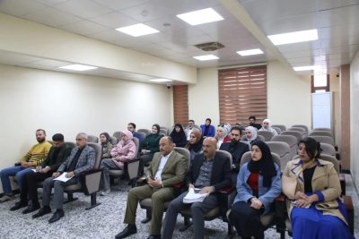
Training course in the Department of Geography
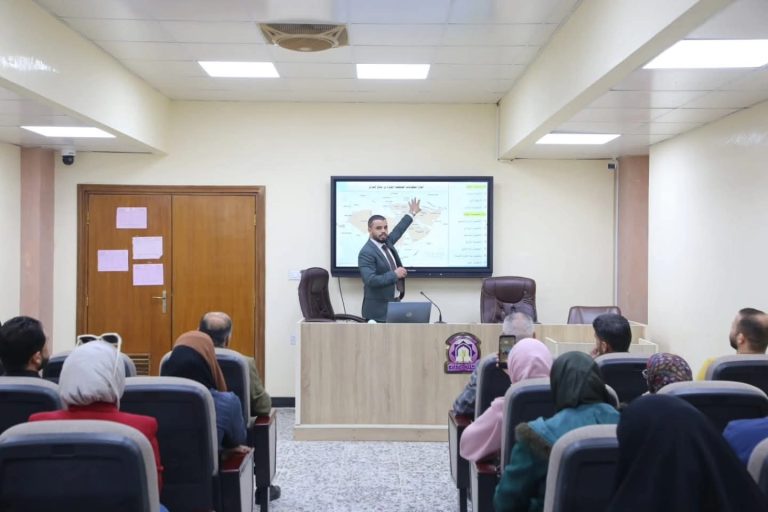
The Department of Geography, in cooperation with the Continuing Education Unit, held a scientific course entitled (Weather Map Analysis and Remote Correlation Relationships).
On the first day of the course, Wednesday 2/19/2025, Dr. Ahmed Majed presented the first axis on weather map analysis and linking different pressure levels. He discussed pressure levels in detail, starting from the surface level of 1000 millibars and ending with the pressure level of 100 millibars, explaining the characteristics of each pressure level, as well as the effect of each level on the other. The global sites that provide these maps and the method of extracting and reading them were also identified.
142 views